Route - Itsaslur Green Way


Description
Highlight
- Cultural Historical Wealth (The Industrial Revolution in Bizkaia)
- Protected Natural Spaces recognised by the Natura 2000 Network:
- SCI Barbadun River
- Salt marshes of Areño & Pobeña
- Dunes & sandy beach of Pobeña
- Coastal maritime ecosystem
- Campomar meadows & hedges
How to get here
A8 motorway exit San Julian de Muskiz
By train:
Renfe Suburban Line C2
By bus:
Pobeña (Muskiz). Bizkaibus. Route A3321 (Portugalete-Playa de La Arena-Muskiz)
Route
Pobeña-Kobaron (Biscay)Section 1
From Kobaron parking to the Pobeña neighborhood
Suitable for people with reduced mobility (PRM)
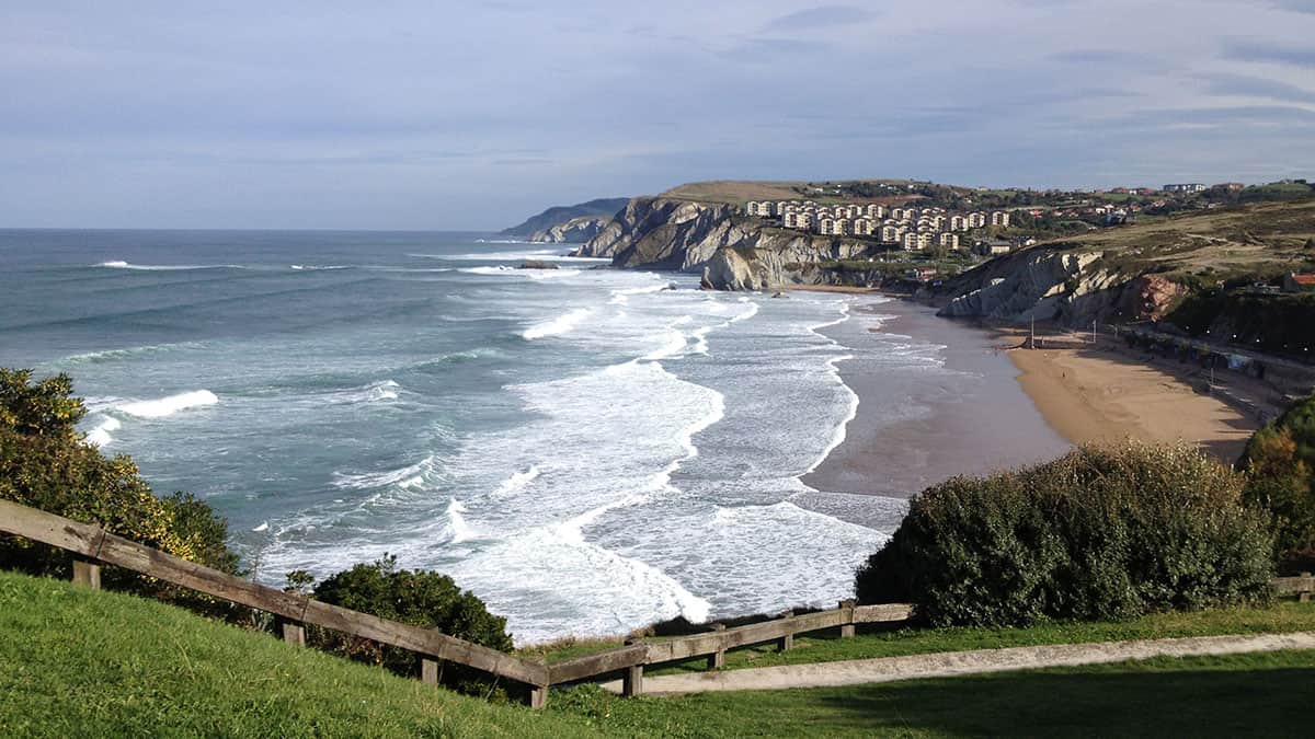
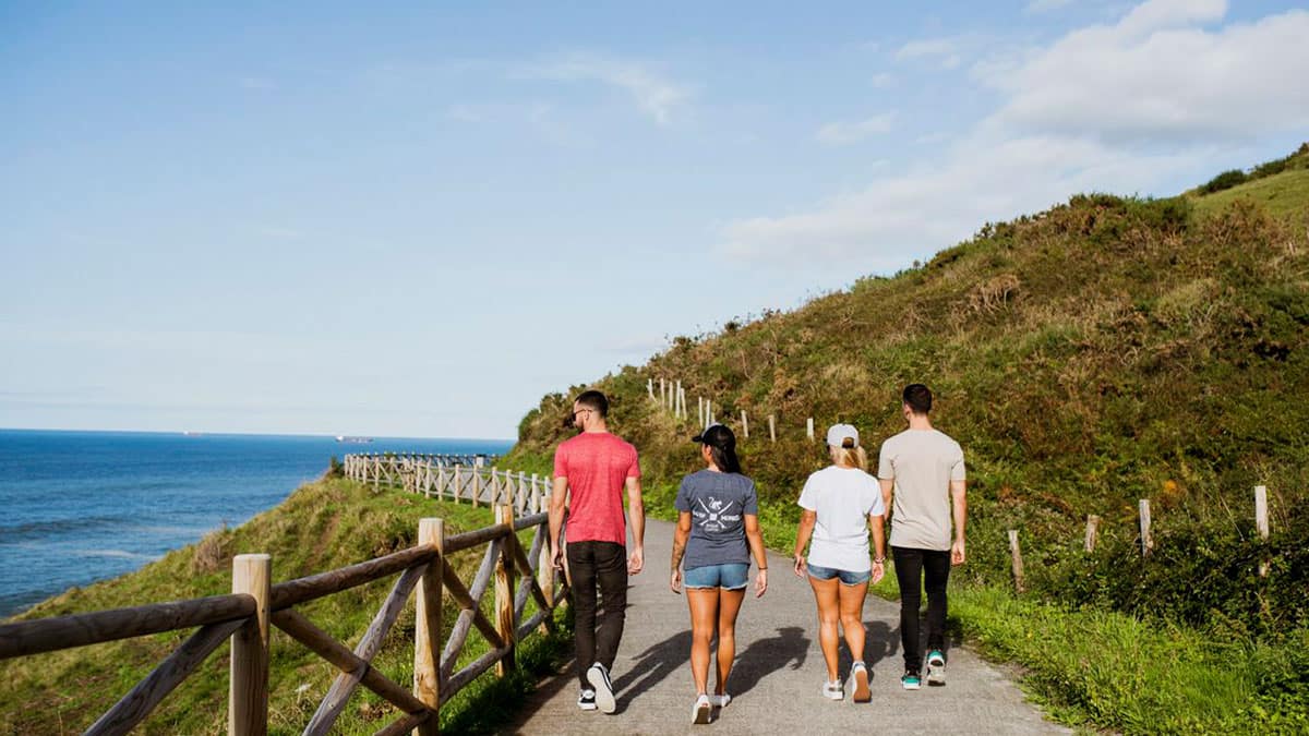
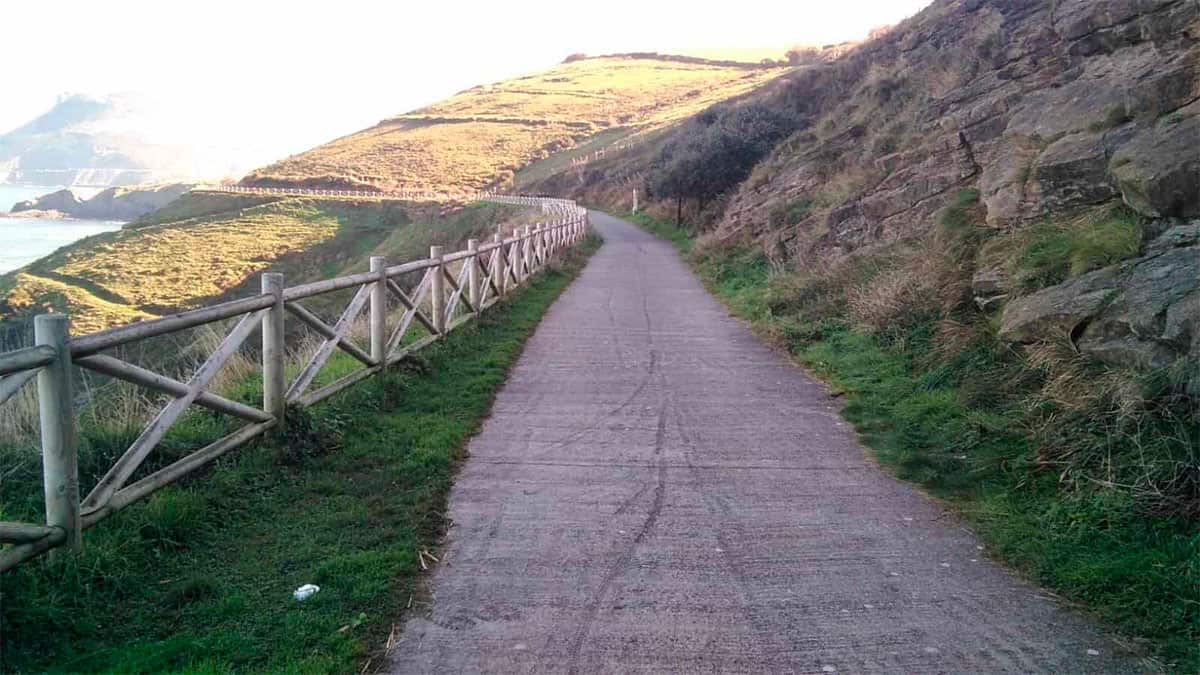
There is the option of extending it another 3km if you continue along the Piquillo greenway towards Ontón. The Itsaslur Greenway is an old railway line. The trail runs parallel to the sea coast, with no slopes and wide curves providing a degree of comfort and ease throughout its route. Along the greenway there are natural spaces, cultural enclaves (remains of industrial archeology) due to the mining history of the area. The smoothness of the railway layout allows it to be traveled without making significant physical effort, which allows it to be done in a self-guided way.
Description of the section and its accessibility level
- Section length
- 2,20 km
- Obstacles
-
- The access from Pobeña is not conditioned for people with reduced mobility, since, the access to the route is realized by very steep stairs.
Equipment for receiving the external resource on the section
- Is there reception equipment on the section?
- No
Outdoor space: Parking areas and access to equipment
- Are the access slopes suitable for people with reduced mobility?
- No
- Are there railings and/or handrails?
- No
Indoor space: General features
- Are the access slopes suitable for people with reduced mobility?
- No
Personal care area
- Are there personnel trained in accessibility in the facilities?
- No
Rest zone
- Is there a rest area at the reception?
- No
Store
- Is there one or more stores at the reception?
- No
Children’s area
- Is there a children’s area at the reception?
- No
Exhibition room
- Is there an exhibition room at the reception?
- No
Exhibition Hall
- Is there an exhibition hall at the reception?
- No
Interpretive equipment
- Are there trails on the section?
- Yes
Access
- Is there lighting at night?
- No
- Minimum accessible connection between parking spaces, if any, the start of the obstacle-free trail
- Yes
- Is there an adequate slope to allow circulation without assistance, with personal assistance or with technical assistance?
- Yes, without assistance from third parties
- Parking spaces reserved for vehicles used to transport disabled people according to current regulations. At least 5% of the total spaces
- No
- Parking signage, if any, with the International Accessibility Symbol on the floor and/or on walls
- No
- Informative poster at the start of the trail indicating the length, route, difficulty, duration and slopes by sections
- Yes
- Path start sign positioned no higher than 195cm
- Yes
Itinerary
- Vertical start signage
- Yes
- Vertical signage type
- Read vertical signage
- Compact, non-slip and with no projections along their entire length, allowing wheelchair transit
- Concrete in good condition
- 2 m. paved trails with non-deformable and non-slip material, with a different texture and different from the rest
- Yes
- The route is more than 150cm wide, with occasional narrowings of 90cm
- Yes
- Minimum clearance height of 220 cm
- Yes
- Rest areas
- Yes
- Urban furniture (fountains, dispensers...) arranged along the pedestrian route to provide sound orientation
- No
- End vertical signage
- Final read sign
- Guiding partition and/or tactile foot signs to draw attention to an important feature
- No
- Islands with a minimum width of 150 cm to facilitate two wheelchairs passing each other
- Yes
- Is there an adequate slope to allow circulation without assistance, with personal assistance or with technical assistance?
- Yes, with no assistance
- Unevenness through pedestrian routes
- Yes
- Tree branches do not obstruct the route at below 2.20 m
- Yes
- Ramps, bridges and walkways with more than 50cm of unevenness, 90cm handrails and with handrails at two heights: 65-75 cm and 95-105 cm
- No
- In botanic gardens, if there are any, Braille signs no higher than 120cm to any accessible communication means
- No
- Route length dimensions and time
- Length 2.2 km Travel time 30-40 minutes one way.
Cycle touring lane
- Does the section have a cycle touring lane?
- No
Lookout and observatory
- Is there a lookout or observatory on the section?
- No
Educational Facilities
Nature classroom
- Is there a nature classroom on this section?
- No
Recreational facilities
- Is there a recreational area on this section?
- No
Access
- Is there an adequate slope to allow circulation without assistance, with personal assistance or with technical assistance?
- No
Beaches
- Is there a beach on this section?
- Yes
Beach parking
- Signage consisting of a general information monolith at the accessible beach area entrance
- Yes
- Parking spaces reserved for disabled people
- Yes
- Access ramps connecting to the walkways
- Yes
Beach information
- Walkways which virtually reach the shore
- No
- WC, changing rooms, showers and footbaths adapted
- Yes
- Parasols with an area for disabled people
- Yes
- Amphibious chairs and crutches
- Yes
- The possibility to practice adapted sports
- No
- There is a NOVAF machine (a type of adapted vehicle)
- No
- Bathing assistance staff
- Yes
- Visual and audio devices for people with sensory disabilities
- No
- Are there buoys and nets?
- Yes
- Are there identification bracelets?
- No
Reviews
There are still no reviews. What are you waiting for to submit your review?
